A coastal storm that could become Kyle is set to bring heavy rain, 40-80 mph gusts and coastal flooding from the Carolinas to New England Nov. 21-23. Here’s the timeline and a 7-step checklist to protect your home.
November 20, 2026
Home improvement · Real estate · Life around the house

A coastal storm that could become Kyle is set to bring heavy rain, 40-80 mph gusts and coastal flooding from the Carolinas to New England Nov. 21-23. Here’s the timeline and a 7-step checklist to protect your home.
 Mai
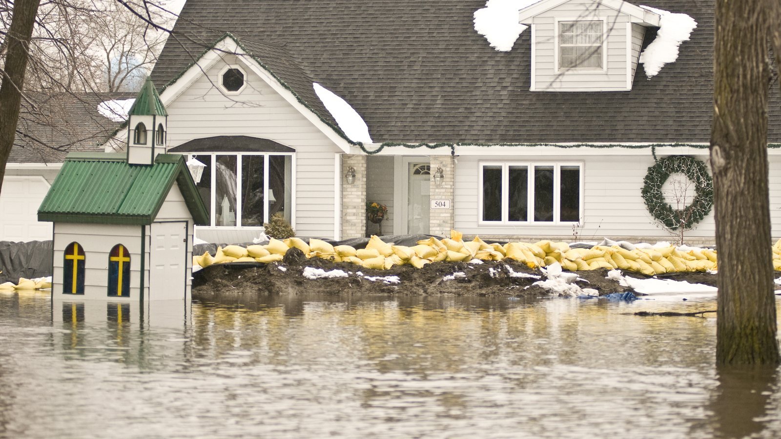
Table of Contents
ToggleA late-season coastal storm is heading up the East Coast this weekend, and homeowners from the Carolinas to New England have about two days to get ready. As of Friday morning, Nov. 20, 2026, the National Hurricane Center was tracking a broad low near the east coast of central Florida that could become a subtropical or tropical storm and would likely be named Kyle. Whether or not it gets a name, the NHC expects strong gusty winds, dangerous surf and coastal flooding along parts of the Southeast and mid-Atlantic coasts into early next week, with heavy rain spreading north toward the Carolinas and mid-Atlantic over the weekend.
The short answer for most households: clear your gutters and storm drains, tie down or bring in anything loose outside, move valuables off the floor in basements and garages, charge your devices and plan for a power outage. Here’s what forecasters expect, when, and a practical checklist for your home.
The track is still uncertain, and forecasters say a path farther out to sea would mean much less rain and wind on land. Based on forecasts published Nov. 19–20, here’s the general timeline:
AccuWeather also forecasts a storm surge of 1 to 3 feet along much of the Atlantic coast. Because the storm should move quickly in the north, it expects coastal flooding in the mid-Atlantic and New England to be limited to one or two high tides.
Behind the storm, a sharp cooldown is on the way. AccuWeather says early-morning temperatures in parts of Pennsylvania and New York could be 15 to 25 degrees lower on Wednesday than on Monday, with subfreezing temperatures across the Northeast early next week. That matters for homes: anything left wet or broken after the storm (a damaged roof, a waterlogged crawl space, an outdoor hose still connected) will face freezing weather right before Thanksgiving.
A few hours of work on Saturday can prevent the most common storm damage: water in the basement, roof and window leaks, and things blowing into the house.
Ready.gov lists decluttering drains and gutters as a key step to protect property from flooding. After a fall of leaves, many gutters are packed. Scoop them out, make sure downspouts are connected and pointing at least a few feet away from the foundation, and clear leaves off any street storm drain near your driveway so water has somewhere to go.
If your basement has taken on water before, assume it can again with 1 to 3 inches of rain. Test your sump pump by pouring a bucket of water into the pit, and check that the discharge line isn’t blocked. Ready.gov suggests considering a sump pump with a battery backup and installing check valves to keep sewer water from backing up. Move boxes, electronics and anything valuable off the floor or to a higher level. For longer-term fixes, see our guide to preventing basement flooding and seepage.
Wind gusts of 40 mph or more can turn patio chairs, trash cans, holiday inflatables and garden decor into projectiles. Bring them inside or into the garage, or tie them down. Take down early Christmas decorations on the roof or in trees until the storm passes.
Look for missing shingles, loose flashing and gaps around windows and doors, and seal small gaps with caulk or weatherstripping while it’s dry. Keep a tarp, rope and a few buckets handy in case a leak starts. If you spot stains or drips once the rain starts, our guide to troubleshooting leaky roofs and ceilings explains where to look first.
Charge phones and power banks, find flashlights and batteries, and fill a few jugs with water if you’re on a well. Ready.gov says to keep freezers and refrigerators closed during an outage: a refrigerator keeps food cold for about four hours, and a full freezer holds its temperature for about 48 hours. If you have a generator, use it only outdoors and away from windows, and never use a gas stove or oven to heat your home because of the carbon monoxide risk.
Ready.gov recommends keeping important documents in a waterproof container and making password-protected digital copies. Take a quick video walk-through of your home, including the basement, garage and any expensive items. If you need to file a claim later, photos from before the storm make it much easier to show what was damaged.
If you live in a low-lying coastal area or a street that floods at high tide, park on higher ground before the storm arrives. Follow evacuation orders from local officials. The National Weather Service warns that just 6 inches of fast-moving floodwater can knock over an adult and 12 inches of rushing water can carry away most cars, so never drive or walk through a flooded road.
Standard homeowners policies don’t cover flooding, and Ready.gov notes it typically takes up to 30 days for a flood policy to take effect. That means a policy bought today won’t cover damage from this weekend’s storm. If you’re uninsured for flood, it’s still worth looking at coverage for the rest of the winter. Here’s how to buy flood insurance online through FEMA’s NFIP Direct, including why the program’s Dec. 11 deadline matters.
It might be. As of 7 a.m. EST on Nov. 20, the NHC gave the system a 30% chance of becoming a subtropical or tropical cyclone within 48 hours and a 50% chance within seven days. If it forms and gets a name, it would be Kyle. The NHC says the impacts are expected either way.
AccuWeather forecasts a general 1 to 4 inches from northeastern Florida to southeastern New England between Friday and Monday, with 4 to 8 inches possible over parts of eastern North Carolina, mainly the Outer Banks. Totals depend heavily on the track.
Check the National Hurricane Center for the storm itself and enter your ZIP code at weather.gov for local watches and warnings.
Forecasts change quickly. This article reflects forecasts published Nov. 19–20, 2026. Always follow the latest guidance from the National Weather Service and local officials.
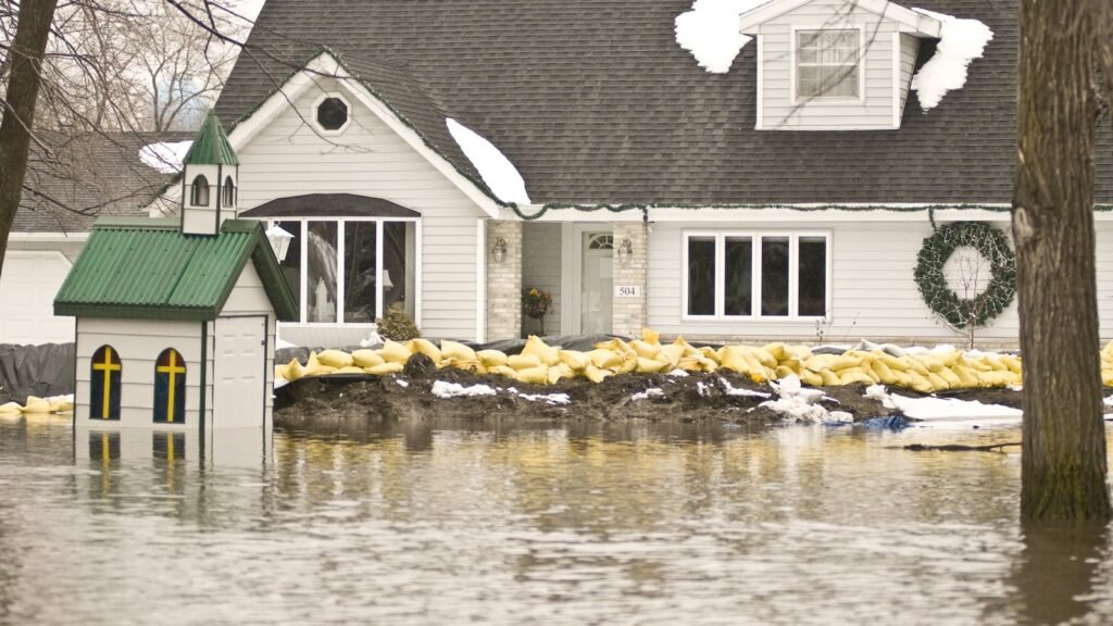
Featured image: “Home protected from flood waters by sand bags in Minnesota” by Patsy Lynch/FEMA, via Wikimedia Commons, public domain (U.S. government work). Cropped.

Mai is Candy Bird's go-to writer for everything around the house, from repairs and DIY fixes to smart storage, energy-saving upgrades and buying or selling a home. Her advice is practical, easy to follow and comes with a touch of humor, whether you're a first-time homeowner or a seasoned DIYer.
More from this writer →
Five minutes, every weekend. Free.

Practical guides for the place you live: fixing it up, decorating it, keeping it running, and buying, selling or renting it.
© 2026 Candy Bird. All rights reserved.
Candy Bird is ad-supported. Our guides are general information, not professional, legal or financial advice: check with a licensed contractor, agent or lender before big decisions.